An article by Nebraska Today shared:
The University of Nebraska–Lincoln’s Nebraska Intelligent MoBile Unmanned Systems Lab, known as NIMBUS, has received nearly $2 million in funding to advance its work on an integrated suite of robotics and drone technologies that will push forward research in the state and around the world.
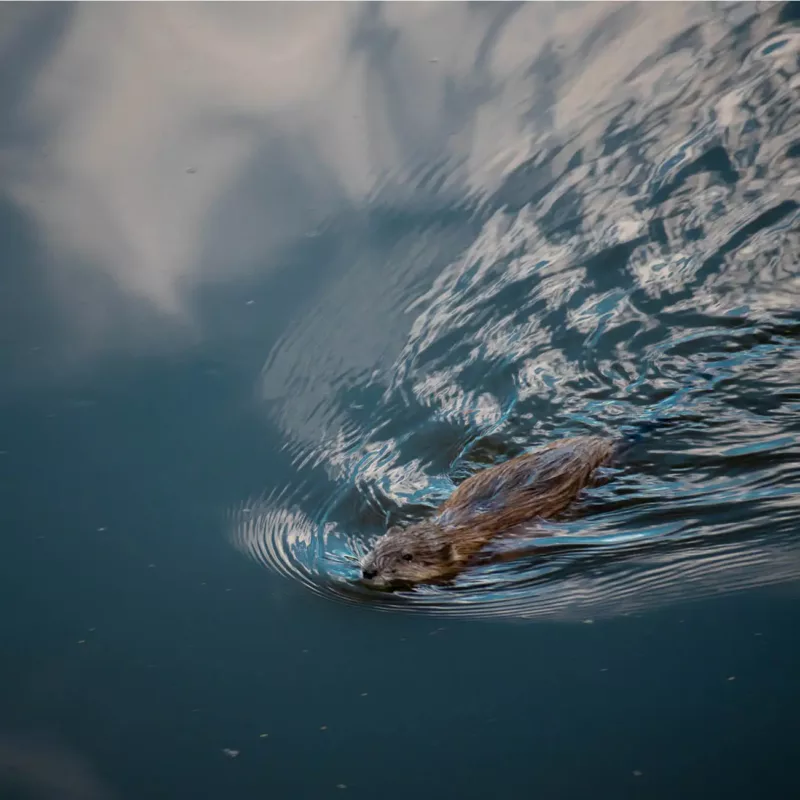
As part of this effort, the NIMBUS team is devising a system where drones and other technologies work in tandem to reach hard-to-access beaver ponds to study the environmental impacts of climate change.
The three-year USDA project is focused on unlocking the potential of carbon sequestration, an approach to fighting climate change that compensates farmers for leaving land untilled. Because they are composed in part of broken-down plant matter, the top layers of soil store, or sequester, carbon. When farmers till their land — a breaking up of the soil to make way for new crops and fend off weeds — this carbon, a major greenhouse gas, is released into the environment.
But a major barrier is the difficulty of quantifying how much carbon is actually stored in the soil, and currently this process is accomplished by sectioning a plot of land into squares and sending a person to dig a hole in each square to collect samples. The process is laborious, time-consuming, expensive, and hazardous. Leveraging drone technology would help minimize these downsides.
To that end, the team aims to automate the process using a three-pronged approach. First, they will use a tethered drone, with sensors placed along the tether, to measure the volume of air over the field, including measurements of temperature, carbon dioxide, wind and other atmospheric traits. They will also develop an integrated drone system capable of gathering soil samples and placing water sensors. Then, combining data from the tethered drone and the sampling drones, the team will develop a smart sampling strategy that pinpoints the locations that will yield the data most critical to MRV, which is key to scaling up the process and minimizing unnecessary work. These algorithms will be incorporated into a widely used USDA software tool.
This innovative atmospheric monitoring process could be a valuable tool beyond farming and agriculture. It would enable carbon monitoring in places where the soil is inaccessible to researchers. It could also play a role in carbon monitoring at monoculture carbon farms, where there are questions about the levels of captured carbon.
Soaring to new heights, together.
Be sure to visit the BWU Technology Partnerships Initiative website to learn more about how our NEOFIX program drives economic growth, promotes policy and infrastructure to improve drone safety and efficiency in various industries, and ensures that drone technology is being used responsibly.

