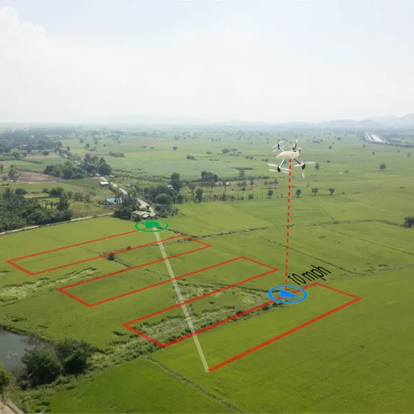
According to an article by sUAS News:
The effects of climate change are becoming impossible to ignore, especially in rapidly urbanizing African cities. Events like floods, droughts, and cyclones are causing widespread disruption, destroying lives and infrastructure. As urban planners face these mounting challenges, innovative technologies like drone technology and LiDAR (Light Detection and Ranging) are proving to be essential tools for building resilience. These technologies assist urban planners in designing cities that can better withstand climate-related risks, paving the way for safer communities.
Drone technology, especially unmanned aerial vehicles (UAVs), has dramatically changed how industries operate. These drones provide high-resolution aerial images and enable efficient data collection. When combined with LiDAR, which employs laser scanning to measure distances accurately, they facilitate quick and precise mapping of terrains, buildings, and vegetation.
For urban planners, using drones paired with LiDAR represents a breakthrough in town planning. With these tools, planners can collect extensive datasets that inform smarter decision-making. For example, a study showed that using drones in mapping processes reduced project time by up to 75% compared to traditional methods, enhancing a city’s ability to respond to natural disasters.
Soaring to new heights, together.
Be sure to visit the BWU Technology Partnerships Initiative website to learn more about how our NEOFIX program drives economic growth, promotes policy and infrastructure to improve drone safety and efficiency in various industries, and ensures that drone technology is being used responsibly.

