Cleveland.com shares:
There’s a new, publicly owned piece of infrastructure in Northeast Ohio. But instead of helping people or trucks move from place to place, NEOFIX is helping drones safely fly through the sky.
Short for the Northeast Ohio Flight Information Exchange, NEOFIX is essentially a place where drone operators can look through a map and see a host of information about where they’re flying, like weather conditions or ordinances that govern where they can and can’t fly.
The same way highways and street signs help people navigate the roads, NEOFIX is supposed to help them navigate the skies.
Its creators, Baldwin Wallace University and the company ATA, LLC, announced the launch of the platform Thursday. The initiative also received $225,000 of American Rescue Plan Act funding from Cuyahoga County in December.
Stuart Mendel, a professor at BW and project director of the university’s technology partnership initiative, said NEOFIX is in its most rudimentary form. But as it grows and adds more data sources it will create the conditions needed for safe drone flights and may attract companies that use drones to Northeast Ohio.
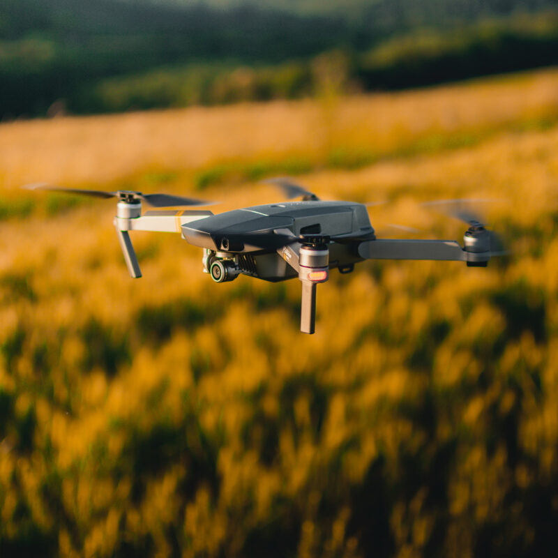
Drones have many uses, whether they’re being used to inspect bridges or are being flown recreationally. And as they get better, they’ll be used more and more in commercial applications, like deliveries.
They can also be dangerous, Mendel said. If they fall and crash, they could harm a person or damage personal property.
But while there’s a sophisticated set of rules and public infrastructure like air traffic control towers for things like planes and helicopters, that doesn’t exist for small drones and things that fly below 400 feet.
The Federal Aviation Administration is tasked with creating rules for drones, and they’re looking to states and municipalities to advise them on what to do, Mendel said.
That’s where projects like NEOFIX come in, he said.
Soaring to new heights, together.
Be sure to visit the BWU Technology Partnerships Initiative website to learn more about how our NEOFIX program drives economic growth, promotes policy and infrastructure to improve drone safety and efficiency in various industries, and ensures that drone technology is being used responsibly.

